
Anúncios
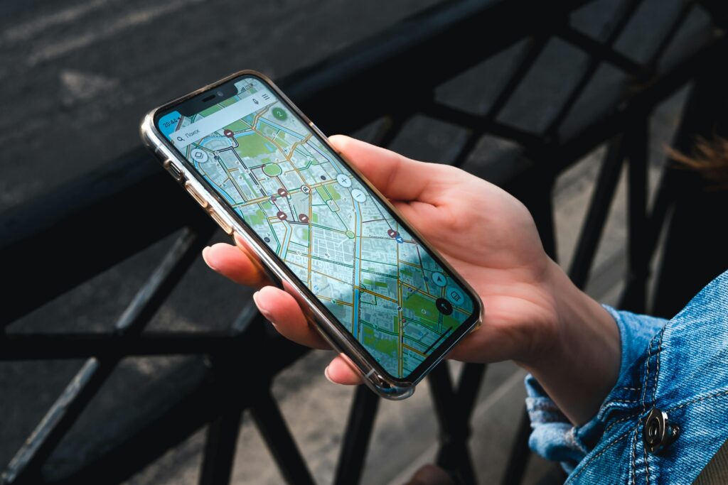
GPS applications have revolutionized how we navigate modern cities, highways, and unfamiliar territories, turning smartphones into powerful location-based tools for millions worldwide.
Gone are the days of unfolding paper maps on car hoods or stopping at gas stations for directions. Today’s navigation technology fits comfortably in your pocket, offering real-time traffic updates, turn-by-turn voice guidance, and intelligent route optimization that adapts to changing road conditions.
Anúncios
Whether you’re commuting to work, embarking on a cross-country road trip, or exploring a new city as a tourist, GPS apps have become indispensable digital companions. They’ve transformed not just personal travel but also revolutionized delivery services, ride-sharing platforms, and emergency response systems globally. 🌍
Understanding How GPS Applications Actually Work
GPS technology relies on a constellation of satellites orbiting Earth, constantly transmitting signals that your smartphone receives. Your device calculates its precise location by measuring the time it takes for signals from multiple satellites to reach it, triangulating your position with remarkable accuracy.
Anúncios
Modern GPS apps enhance this satellite data with additional information sources. They incorporate cellular tower triangulation, Wi-Fi positioning, and accelerometer data to improve accuracy, especially in urban environments where tall buildings can interfere with satellite signals.
The real magic happens when these positioning capabilities merge with mapping databases, real-time traffic information, and community-driven updates. This combination creates a dynamic navigation experience that continuously adapts to current conditions rather than relying on static map data.


Essential Features That Define Superior GPS Applications 📱
Not all navigation apps are created equal. The best GPS applications share certain characteristics that elevate them above basic mapping tools.
Real-Time Traffic Intelligence
Premium GPS apps tap into live traffic data from multiple sources, including government transportation departments, road sensors, and crowdsourced information from other drivers. This allows them to identify congestion, accidents, and road closures as they happen, automatically suggesting faster alternative routes.
The most sophisticated systems learn traffic patterns over time, predicting typical congestion even before it occurs based on historical data, day of the week, and time of day.
Voice-Guided Navigation
Hands-free operation isn’t just convenient—it’s essential for safe driving. Quality GPS apps provide clear, timely voice instructions that alert you to upcoming turns, lane changes, and exits without forcing you to look at your screen.
Advanced voice assistants even respond to natural language commands, allowing you to search for destinations, report hazards, or adjust routes entirely through conversation.
Offline Map Capabilities
Internet connectivity can’t always be guaranteed, especially when traveling internationally or through rural areas. The ability to download maps for offline use ensures you’ll never find yourself stranded without navigation, even when cellular service disappears.
This feature proves invaluable for international travelers who want to avoid expensive roaming charges while still accessing reliable navigation.

Popular GPS Applications Compared
The navigation app market offers several strong contenders, each with unique strengths tailored to different user preferences and needs.
Waze: The Community-Powered Navigator
Waze stands out for its social approach to navigation. Users actively contribute real-time information about traffic conditions, police presence, speed cameras, road hazards, and even cheap gas prices. This crowdsourced intelligence creates an exceptionally current picture of road conditions.
The app’s personality shines through customizable voice packs, including celebrity voices and fictional characters. Its gamification elements reward active contributors, turning routine commutes into engaging experiences that benefit the entire community.
Google Maps: The Comprehensive Solution
Google Maps leverages the tech giant’s vast data resources to provide not just navigation but comprehensive local information. Beyond driving directions, it excels at public transportation guidance, walking routes, cycling paths, and detailed business information including reviews, photos, and operating hours.
Its Street View feature allows you to preview destinations visually before arrival, while Timeline tracks your location history for those who want to remember where they’ve been.
Apple Maps: The iOS Native Choice
Apple Maps has evolved significantly since its problematic launch, now offering competitive navigation features with exceptional integration into the Apple ecosystem. Siri voice control, seamless synchronization across Apple devices, and privacy-focused design appeal to users invested in Apple products.
The Look Around feature provides high-resolution street-level imagery, while Flyover offers stunning 3D city visualizations for select metropolitan areas.
Specialized GPS Applications for Specific Needs 🚗
Beyond general-purpose navigation apps, specialized solutions cater to particular activities and professions.
Hiking and Outdoor Navigation Apps
Applications like AllTrails, Gaia GPS, and Komoot focus on off-road navigation, providing detailed topographic maps, elevation profiles, and trail-specific information. These apps often include features like waypoint marking, track recording, and emergency location sharing crucial for wilderness adventures.
They typically offer more robust offline capabilities than standard navigation apps, recognizing that cellular coverage disappears quickly outside urban areas.
Trucking and Commercial Navigation
Commercial drivers require specialized routing that accounts for vehicle height, weight restrictions, hazardous material regulations, and truck-friendly rest stops. Apps like Trucker Path and CoPilot GPS deliver these professional features alongside standard navigation capabilities.
These applications can save professional drivers from costly mistakes like attempting to pass under low bridges or entering restricted zones with weight limits.
Marine and Aviation GPS
Specialized navigation extends to marine environments with apps like Navionics and C-MAP, providing nautical charts, depth information, and marine points of interest. Similarly, aviation apps offer aeronautical charts, weather information, and flight planning tools for pilots.
Privacy Considerations With Location-Based Services 🔒
GPS applications necessarily collect detailed location information, raising legitimate privacy concerns that users should understand and actively manage.
Most navigation apps continuously track your movements to provide traffic data and improve routing algorithms. While this data collection enables valuable features, it creates detailed records of your daily movements, potentially revealing sensitive information about home locations, workplaces, and visited establishments.
Different companies handle this data with varying privacy commitments. Apple emphasizes on-device processing and data minimization, while Google aggregates and anonymizes location data for service improvement. Waze, owned by Google, similarly collects extensive location information for its community features.
You can take several steps to protect your privacy while still enjoying GPS functionality. Review and adjust location permissions, choosing “while using the app” rather than “always” when possible. Regularly delete location history through app settings. Consider using apps with stronger privacy policies for sensitive trips, or enable airplane mode with offline maps when cellular connectivity isn’t necessary.
How GPS Apps Impact Battery Life and Data Usage
Navigation apps are notoriously power-hungry, often draining smartphone batteries faster than almost any other common application. Understanding why helps you manage consumption effectively.
GPS receivers require significant power to communicate with satellites. Couple this with continuous screen use, cellular data connectivity, and processor-intensive route calculations, and you have a perfect recipe for rapid battery depletion.
Several strategies can extend battery life during navigation. Reduce screen brightness or use auto-brightness features. Close unnecessary background apps competing for resources. Consider a car charger or portable battery pack for longer journeys. Download offline maps to reduce the cellular radio usage that particularly drains batteries.
Regarding data consumption, GPS signal reception itself doesn’t use data—satellite signals are free. However, loading maps, downloading traffic information, and searching for destinations all require internet connectivity. Streaming map tiles continuously during navigation can consume substantial data, particularly concerning for users with limited mobile plans or traveling internationally.
Offline map downloads solve this problem beautifully, loading map data over Wi-Fi before your trip and storing it locally on your device. This eliminates data usage during navigation while also improving reliability in areas with poor cellular coverage.
Advanced Features Transforming Modern Navigation 🚀
GPS technology continues evolving, with cutting-edge features that seemed like science fiction just years ago now becoming standard offerings.
Augmented Reality Navigation
AR navigation overlays directional arrows and information directly onto live camera views of your surroundings. This technology proves especially valuable for pedestrian navigation in complex urban environments where traditional map views can be disorienting.
Google Maps’ Live View feature exemplifies this technology, using visual positioning to determine not just where you are but which direction you’re facing, then displaying virtual signage guiding you to your destination.
Multi-Stop Route Optimization
For users needing to visit multiple locations—whether running errands or making deliveries—intelligent route optimization automatically sequences stops in the most efficient order, minimizing total travel time and distance.
This computational problem, known as the “traveling salesman problem,” becomes exponentially complex with additional stops. Modern GPS apps solve it near-instantaneously, accounting for real-time traffic conditions and time windows for specific destinations.
Predictive Departure Suggestions
Machine learning algorithms analyze your historical travel patterns to predict destinations and proactively suggest departure times. If you regularly commute to work at similar times, your GPS app might notify you to leave early due to unusual traffic conditions, helping you arrive punctually without constant manual checking.
GPS Applications for Business and Fleet Management
Commercial applications of GPS technology extend far beyond individual navigation, forming the backbone of modern logistics and fleet management systems.
Delivery companies track vehicle locations in real-time, optimizing routes dynamically and providing customers with accurate estimated arrival times. This visibility improves operational efficiency while enhancing customer service through transparency and reliability.
Fleet managers monitor driver behavior, identifying unsafe practices like harsh braking, rapid acceleration, or excessive speeding. This data supports driver training programs and can reduce accident rates, insurance premiums, and vehicle maintenance costs.
Field service businesses dispatch technicians more efficiently by knowing their exact locations and current job statuses. GPS data helps verify service visits, calculate accurate mileage reimbursements, and provide customers with real-time technician arrival estimates.
The Future of GPS Navigation Technology 🔮
Several emerging technologies promise to revolutionize navigation experiences in coming years.
Vehicle-to-everything (V2X) communication will enable cars to share information directly with each other and with infrastructure like traffic lights. This connectivity will allow GPS apps to access even more current information about road conditions, potential hazards, and traffic signal timing.
Autonomous vehicle development pushes GPS accuracy requirements to new extremes. Future positioning systems will achieve centimeter-level precision through enhanced satellite constellations, ground-based correction systems, and sensor fusion combining GPS with cameras, radar, and LIDAR.
Indoor positioning systems will extend navigation capabilities into buildings where GPS signals can’t penetrate. Using Wi-Fi, Bluetooth beacons, and ultra-wideband technology, you’ll receive turn-by-turn directions through airport terminals, shopping malls, and office complexes with the same ease you currently navigate city streets.
Artificial intelligence will increasingly personalize navigation experiences, learning your preferences for scenic routes versus fastest routes, preferred parking locations, typical departure times, and favorite stops. Your GPS will anticipate needs before you explicitly request assistance.
Maximizing Your GPS App Experience: Practical Tips ✨
Get more from your navigation app by implementing these user strategies that many people overlook.
Regularly update your GPS application to access latest features, map improvements, and bug fixes. Developers constantly refine routing algorithms and add functionality, but you’ll only benefit by keeping software current.
Explore settings menus to customize experiences according to your preferences. You can typically adjust voice volume, select alternative route aggressiveness, choose distance units, enable toll road avoidance, and configure many other parameters affecting your navigation experience.
Save frequent destinations like home, work, gym, and favorite restaurants for quick access without typing addresses repeatedly. Most apps support voice commands for saved locations, making hands-free operation even more convenient.
Contribute to community-powered apps by reporting road conditions, hazards, and map errors when you encounter them. Your contributions help fellow drivers while improving the service you receive in return—everyone benefits from accurate, current information.
Experiment with different apps for different purposes. You might prefer one application for daily commuting but switch to another with better offline capabilities when traveling internationally. There’s no requirement to commit exclusively to a single navigation platform.
Troubleshooting Common GPS Application Issues
Even the best technology occasionally experiences problems. Understanding common issues and their solutions keeps you reliably navigating.
If your GPS shows inaccurate location, first ensure location services are enabled with proper permissions granted. Move away from tall buildings that block satellite signals. Restart your device to refresh GPS connections. Toggle airplane mode on and off to reset wireless radios.
When experiencing slow performance or crashes, clear the app cache through your phone’s settings to remove accumulated temporary files. Uninstall and reinstall the application if problems persist. Verify you have adequate storage space available—insufficient memory causes numerous app malfunctions.
For voice guidance failures, check your device volume settings and ensure the navigation app isn’t muted independently. Verify that Bluetooth audio routing hasn’t redirected voice guidance to a disconnected device. Some apps separate navigation voice from media volume, requiring individual adjustment.
If routes seem illogical or outdated, confirm you’re using the latest app version with current map data. Report persistent routing problems to developers—they genuinely appreciate feedback that helps improve algorithms and correct map errors.
Making the Right GPS App Choice for Your Needs 🎯
Selecting the optimal navigation application depends on your specific requirements, priorities, and usage patterns.
Frequent commuters in traffic-heavy urban areas benefit most from apps emphasizing real-time traffic intelligence and dynamic rerouting. Community-powered platforms excel here, leveraging crowdsourced incident reports to identify problems quickly.
International travelers should prioritize offline map capabilities and comprehensive coverage across multiple countries. Apps with strong public transportation integration help navigate unfamiliar cities without rental cars.
Privacy-conscious users might accept slightly fewer features in exchange for applications with stronger data protection commitments and transparent privacy policies. Review how each platform collects, uses, and shares your location information.
Outdoor enthusiasts need specialized apps with topographic maps, trail information, and robust offline functionality rather than street-focused navigation designed for vehicles.
The beauty of the modern app ecosystem is that you’re never locked into a single choice. Install several navigation apps, experiment with their features and interfaces, and use whichever best suits each particular journey. Most are free or offer free tiers with optional premium features, making exploration risk-free.
GPS applications have fundamentally altered our relationship with navigation and geography. They’ve eliminated the anxiety of getting lost, opened possibilities for spontaneous exploration, and created efficiencies that ripple through entire economies. As technology continues advancing, these pocket-sized navigators will only become more capable, intelligent, and indispensable to modern life. Whether you’re commuting across town or adventuring across continents, there’s never been a better time to harness the power of GPS navigation technology. 🌟